
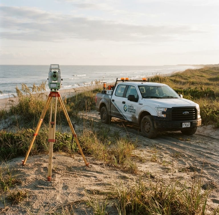
Precision coastal boundary engineering.
Woodbury Associates delivers legally airtight land surveying, civil engineering, and environmental consulting. We deploy our multi-vehicle field fleet to secure rapid municipal approvals and protect your development schedule.
Unmatched regional compliance
100%
municipal approval rate
40 yrs
coastal land records
24 hr
rapid fleet deployment
Airtight land data
We combine advanced geospatial precision with local regulatory expertise. Our integrated engineering and surveying services guarantee that your development moves from initial mapping to final municipal greenlight without delay.
Land Surveying
Civil Engineering
Environmental Consulting
Monumented corners, boundary mapping, and high-precision topographic surveys. We utilize advanced robotic total stations to deliver millimeter-accurate land data.
Comprehensive site planning, stormwater design, and coastal infrastructure engineering. We design high-performance systems optimized for South Carolina's unique coastal environment.
Critical wetland delineation, environmental permitting, and compliance mapping. We navigate complex coastal regulations to secure your environmental greenlight without administrative delays.
Ready to greenlight your project?
Partner with Myrtle Beach's trusted engineering and surveying authority. Contact our Kings Road office today to coordinate rapid field deployment or request a detailed project proposal.
WOODBURY ASSOCIATES INC
Geospatial precision and coastal boundary engineering since 1984.
SITEMAP
Home
Services
About
Contact
OFFICE
9700 KINGS RD, # P600, MYRTLE BEACH, SC, 29572-6005, US
Phone: +18434496793
Email: admin@gwoodburyandassociates.com
© 2026 WOODBURY ASSOCIATES INC-Licensed Land Surveyors & Civil Engineers.
FORTY YEARS OF COASTAL RECORDS